Whampoa Park Connector

Whampoa PC
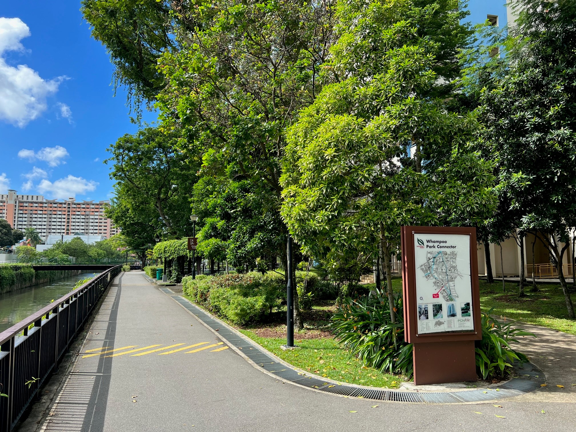
Starting from Toa Payoh Town Park, Whampoa Park Connector runs along Sungei Whampoa and joins up with Kallang Park Connector at Bendemeer Road. It contains two PUB Active, Beautiful, Clean Water programme features on both banks of the Kallang River – River Vista and Kolam Ayer Waterfront. The park connector takes you through Jalan Rajah, Kim Keat, Whampoa, St George’s and Bendemeer residential estates. You can also enjoy a wide range of food outlets along Balestier Road, with some operating around the clock.

Points of interest

Sungei Whampoa @ St George’s Lane
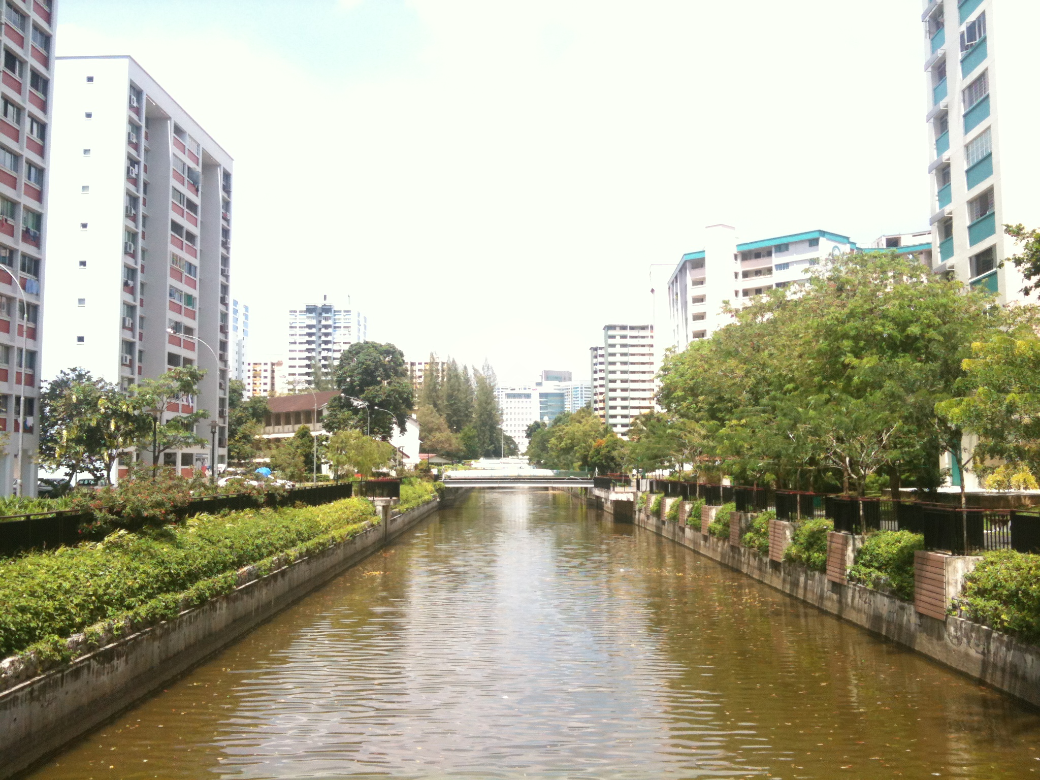
Revitalised with new riverside features, the 250m section of Sungei Whampoa, runs from the Central Expressway to the St George's Lane development. Gabion walls planted with creepers form a naturalised canal edge. A rain garden planted along the walkway creates a garden habitat. In addition, planters, cantilever decks, and landscaping enhance the area and bring residents closer to water.

Sungei Kallang @ River Vista
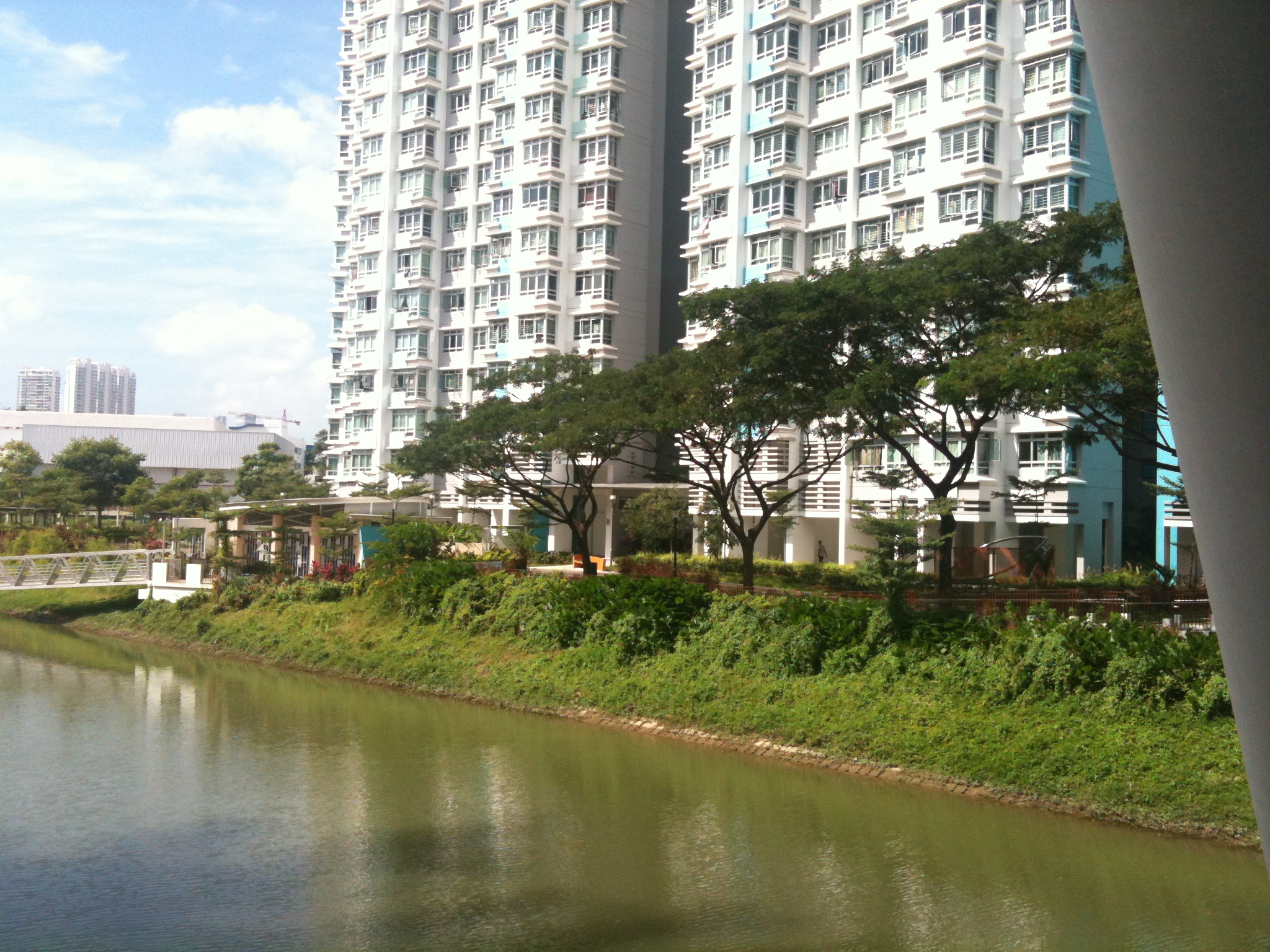
The banks of Kallang River feature beautiful and vibrant community spaces that are well-integrated with the surrounding residential areas. Enjoy an active outdoor lifestyle in close proximity to the water, with activity nodes including a playground and plaza areas along the river’s edge. A floating pontoon and boat shed has also been constructed to allow for kayaking on the river.
Park Connector Information
|
Location |
Whampoa Park Connector starts at Jalan Rajah, across Toa Payoh Town Park and runs along Sungei Whampoa before ending at Bendemeer Road |
|
|
Length of Park Connector |
4.49 km |
|
|
Accessibility |
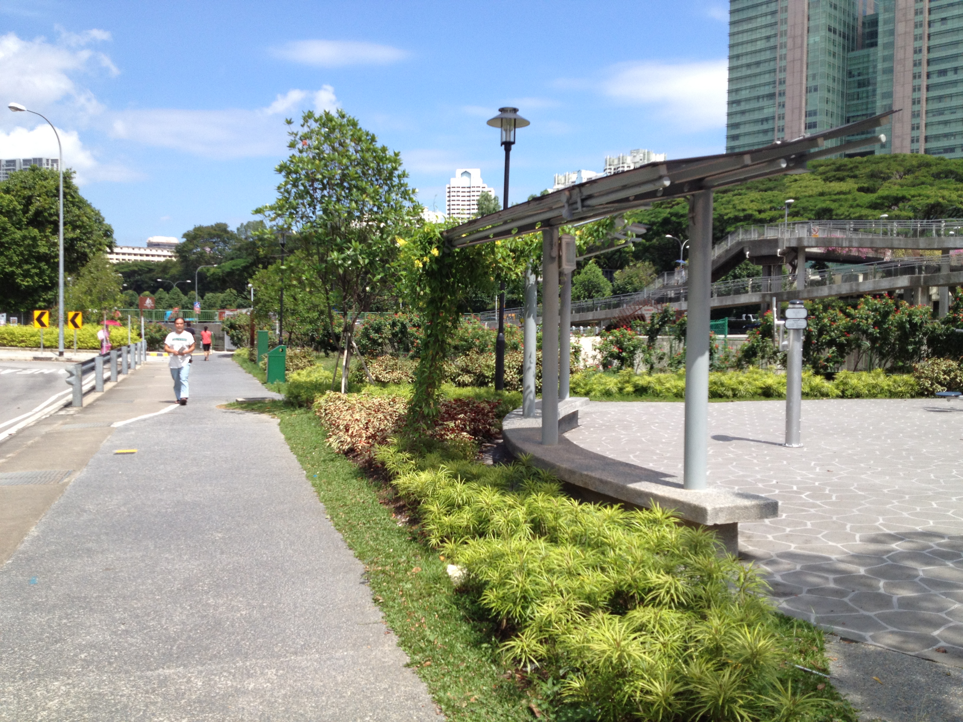
The park connector is barrier free, however, users will have to cross two pedestrian overhead bridges over PIE and CTE. Cyclist may push their bicycles up the ramps at these bridges. |
|
|
Bus Service |
Not Applicable |
|
|
Get Directions |
Nearby Park Connectors
|
Kallang Park Connector |

